The drop keels - deployed through a moon pool in the ship - contain a variety of scientific equipment.
Share
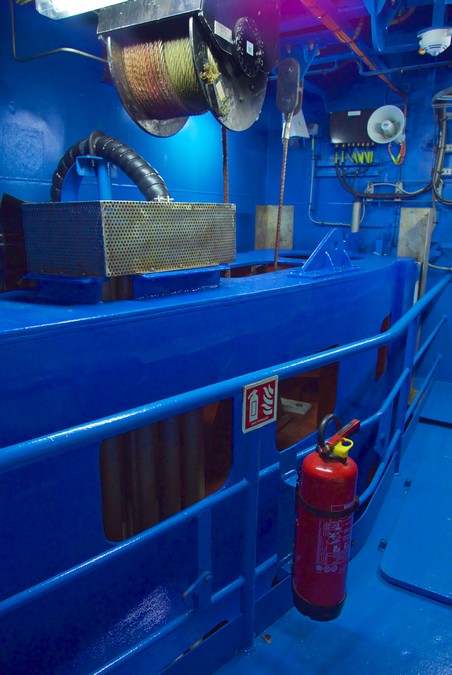
Where they are located
The drop keels are about 1.3 m wide by about 3.6 m long – the shape of an aircraft wing – and are kept inside a tube in the ship, behind the gondola.
A seawater inlet on the forward edge of one of the keels allow scientists to collect uncontaminated seawater samples that can be used in the laboratories and on deck.
The drop keels contain:
360° optical camera for monitoring scientific equipment and marine life
Water intake to collect uncontaminated seawater samples
EK60 with transducers working at 18 kHz, 38 kHz, 120 kHz, 200 kHz and 333 kHz
Acoustic Doppler current profilers (ADCP) 75 kHz + 150 kHz
Hydrophones.
What the drop keels are used for
The drop keels enable researchers to deploy a range of scientific instruments as the vessel moves through the water.
The ship's two drop keels can be lowered or raised as needed, and sensors added, replaced or checked and then lowered down again.
Importantly, when these sensitive acoustic instruments are lowered, they are below the 'bubble zone' - the layer created by bubbles - up to 4 m below the ship's hull.
Other uses
Other instruments mounted in, or on, the keels can:
Measure the speed, direction and depth of currents – understanding current speed and direction is key to understanding the transport of heat in oceans.
Indicate fish abundance and size.
Detect fish schools and individual fish, giving location and depth relative to the vessel as it moves through the water.
Measure the velocity of sound in water – sound velocity affects depth calculations.
Measure the width and height and depth of a scientific trawl net carried behind Investigator – the net can be towed down to 4 kilometres deep and 6 kilometres aft of the vessel. Knowing how the size of the net mouth opening changes it moves through the water helps calculate abundance estimates for trawl catches, and improves understanding of the general behaviour of trawl nets.
Provide data on the position of instruments towed by or moored to the ship, increasing the spatial accuracy and precision of measurements.
Contact us
Find out how we can help you and your business. Get in touch using the form below and our experts will get in contact soon!
CSIRO will handle your personal information in accordance with the Privacy Act 1988 (Cth) and our Privacy Policy.
We have received your enquiry and will reply soon.
We're Sorry
The contact form is currently unavailable. Please try again later. If this problem persists, please call us with your enquiry on 1300 363 400 or +61 3 9545 2176. We are available from 9.00 am to 4.00 pm AEST Monday - Friday.
 Where they are located