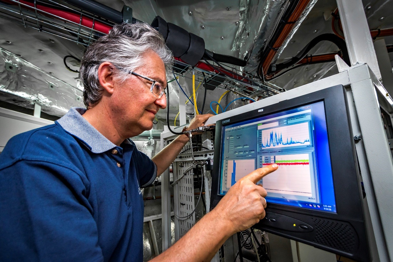
 RV Investigator has robust underway data collection capabilities.
In addition to research project data and samples, the vessel collects various data streams when underway and continuously conducts:
These data streams are managed and curated by the Marine National Facility to ensure they are freely accessible to all researchers. Many of these data are accessible in near real-time via the Near Real-time Underway Data portal called NRUD.
Importantly, many of these data streams contribute to various national and international programs, helping to increase understanding and, in some cases, validate remote sensing via in situ measurements taken from the ship.
Programs we contribute underway data to include:
- Atmospheric data contributed to the WMO Global Atmosphere Watch Program
- Geoscience data contributed to the AusSeabed and GEBCO seafloor mapping initiatives
- Sea Surface Temperature (SST) data contributed to the Australian Ocean Data Network.
Maximising benefit from every voyage
These underway data are made available at no cost for use by the public. Users from all segments of Australian society leverage these data to deepen and expand our collective understanding of ocean ecosystems, climate and weather changes, fisheries and other important topics.
Ultimately, underway data play a critical role in evidence-based decision making, resource and risk management strategies, and offshore activities. The value to the nation from the collection of these data has been calculated to be in the billions of dollars.
Explore underway data collected in NRUD
Access our interactive geospatial platform for viewing ship position and underway data called NRUD.
RV Investigator has robust underway data collection capabilities.
In addition to research project data and samples, the vessel collects various data streams when underway and continuously conducts:
These data streams are managed and curated by the Marine National Facility to ensure they are freely accessible to all researchers. Many of these data are accessible in near real-time via the Near Real-time Underway Data portal called NRUD.
Importantly, many of these data streams contribute to various national and international programs, helping to increase understanding and, in some cases, validate remote sensing via in situ measurements taken from the ship.
Programs we contribute underway data to include:
- Atmospheric data contributed to the WMO Global Atmosphere Watch Program
- Geoscience data contributed to the AusSeabed and GEBCO seafloor mapping initiatives
- Sea Surface Temperature (SST) data contributed to the Australian Ocean Data Network.
Maximising benefit from every voyage
These underway data are made available at no cost for use by the public. Users from all segments of Australian society leverage these data to deepen and expand our collective understanding of ocean ecosystems, climate and weather changes, fisheries and other important topics.
Ultimately, underway data play a critical role in evidence-based decision making, resource and risk management strategies, and offshore activities. The value to the nation from the collection of these data has been calculated to be in the billions of dollars.
Explore underway data collected in NRUD
Access our interactive geospatial platform for viewing ship position and underway data called NRUD.
Read about the impact of the underway data we collect
In 2020, CSIRO commissioned RTI International, a non-profit research institute, to conduct an independent analysis of MNF impact. Read the report:
