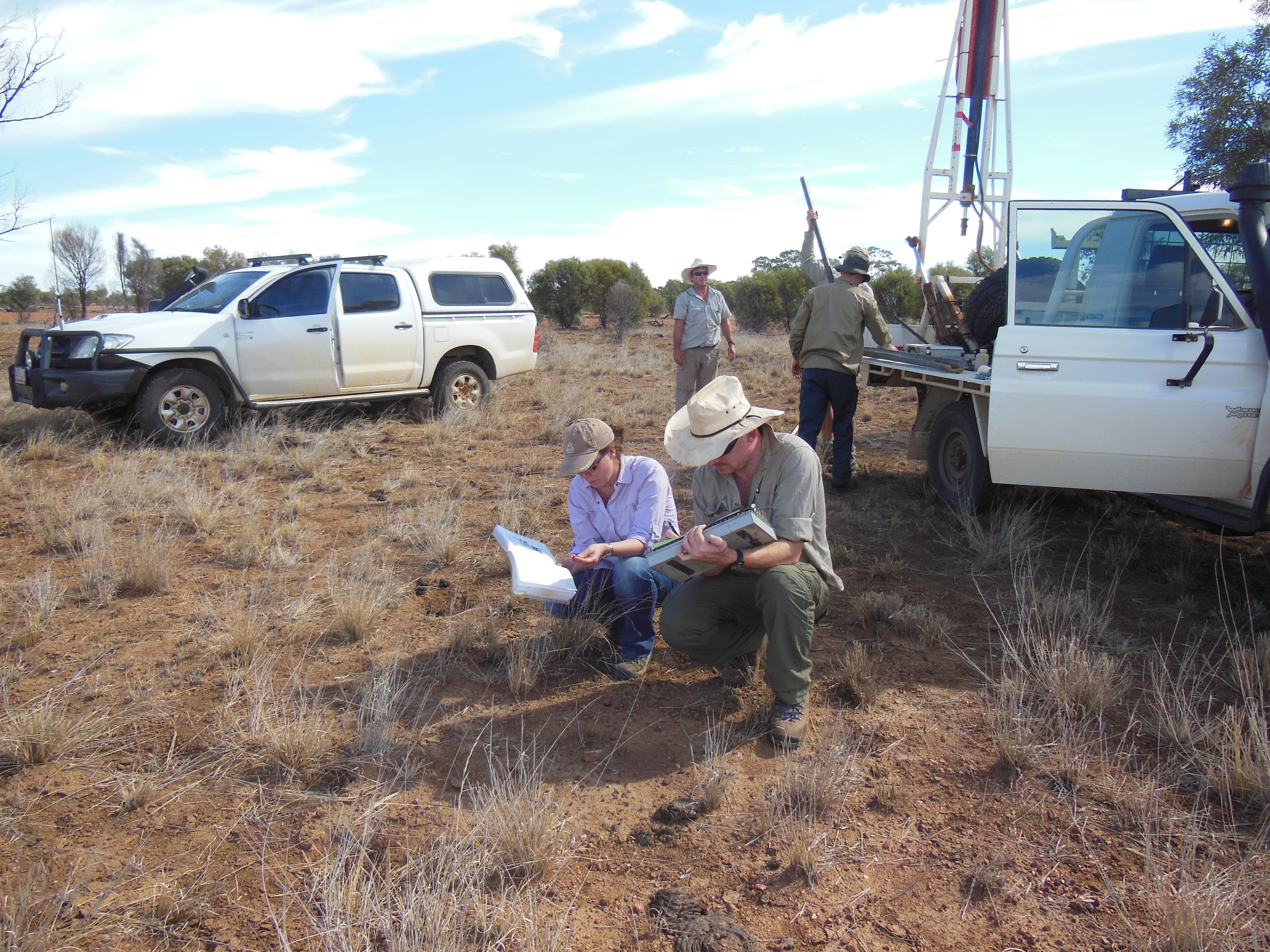
Soil features such as water, nutrient and clay content affect the sustainability of Australia's natural resources and the profitability of sectors such as agriculture, mining and infrastructure.
In the past, information about Australia's diverse soils and landscapes was held in many places and there was no consistency among datasets. Users had to process data themselves, often taking thousands of hours a year. As a result, soil information was rarely included in agricultural models, infrastructure planning or ecological assessments.
Making it easier to access soil data
Working in partnership with the University of Sydney, Geoscience Australia, several state and territory government agencies, and the Terrestrial Ecosystem Research Network (TERN) we developed the Soil and Landscape Grid of Australia, a 'digital tapestry' that draws together information from the partner agency databases.
The Grid combines historical and current data generated from sampling, laboratory sensing, modelling and remote sensing. It represents Australia as a digital grid made up of two billion 'pixels' that are about 90 by 90 metres in size, down to a depth of two metres below the surface.
This is the world's first comprehensive, continental soil data system that is easily accessible to urban and regional planners, land managers, farming groups, scientists and engineers.
Since its release in 2014, the Grid has been in high demand with over 1.3 million downloads. It's range of uses and users continues to grow, as soil data is incorporated into planning and decision-making. Known applications include soil moisture monitoring and modelling, agricultural productivity improvements, broad scale land development proposals and education.

